Sold Status
$48,000 Sold Price
Land Type
60 Acres
Sold By Montgomery Properties
Request a Showing or More Info
Mortgage Provider
Mortgage Calculator
$
$ Taxes
$ Principal & Interest
$
This calculation is based on a rough estimate. Every person's situation is different. Be sure to consult with a mortgage advisor on your specific needs.
Franklin County
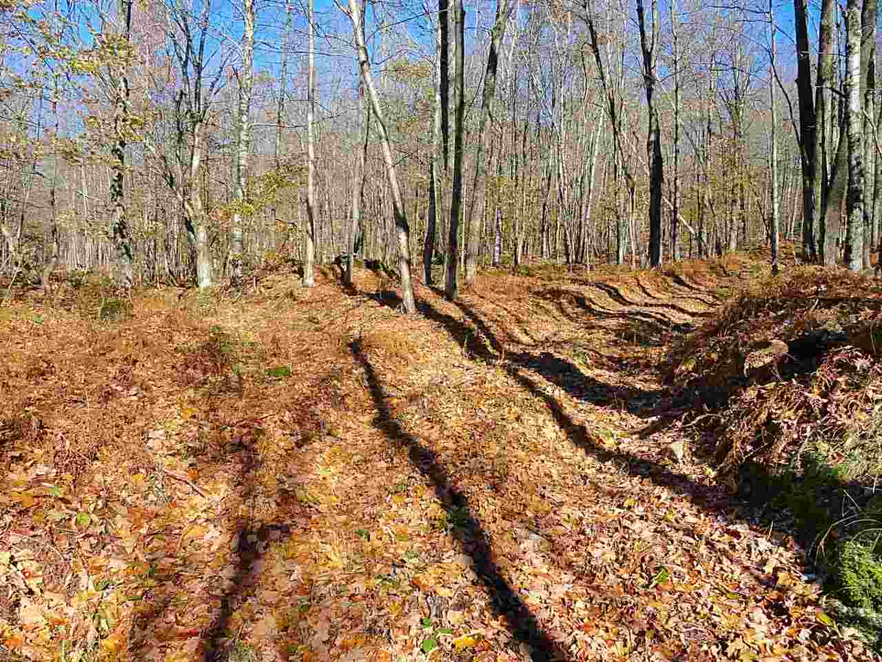
60 acres in a beautiful setting with abundant hardwoods. This land can be built on with Development Review Board approval. Create your dream get-a-way. This serene setting is accessible from Hannah Clark Brook Road. Large parcels surround it that are either privately or state owned land that is vast wilderness. A short distance to Jay Peak and the Village of Montgomery Center makes this a great retreat. Potential sugar woods with abundant maple trees and gentle sloping land lend this to a perfect landscape for running and maintaining sap lines. A wonderful area of Vermont that is untouched with development and feels like thousands of acres of tranquility.
Property Location
Property Details
| Sold Price $48,000 | Sold Date Dec 11th, 2018 |
|---|---|
| MLS# 4726564 | Taxes $1,012 |
| List Price 60,000 | Exposure |
| Type Land | Surveyed Unknown |
| Zoning Conservation Dist. 1 & 2 | Road Frontage Ft |
| Lot Size 60.0000 Acres | Water Frontage |
| Easements | Water Body |
| List Date Nov 5th, 2018 |
| MLS# 4726564 | Taxes $1,012 |
|---|---|
| List Price 60,000 | Exposure |
| Type Land | Surveyed Unknown |
| Zoning Conservation Dist. 1 & 2 | Road Frontage Ft |
| Lot Size 60.0000 Acres | Water Frontage |
| Easements | Water Body |
| List Date Nov 5th, 2018 |
| Amenities |
|---|
| Topography Wooded |
| Location Unknown |
| Utilities |
| Directions From Montgomery, East on Route 242 for 1.9 miles. Left on Hannah Clark Brook Road, bear right, continue up Hannah Road 1.1 miles. Pull-off on left is the logging road to walk up. Don’t go thru gate marked "Private Road." Walk 670 paces up logging road. Stone foundation is on bottom of boundary line. |
| Current Use | Roads None |
|---|---|
| Sewer None | Roads None |
| Water None | Structure |
| Electric None | Shore Rights |
| Gas | Restrictions |


 Back to Search Results


