Sold Status
$90,000 Sold Price
Land Type
53 Acres
Sold By
Similar Properties for Sale
Request a Showing or More Info

Call: 802-863-1500
Mortgage Provider
Mortgage Calculator
$
$ Taxes
$ Principal & Interest
$
This calculation is based on a rough estimate. Every person's situation is different. Be sure to consult with a mortgage advisor on your specific needs.
Williston
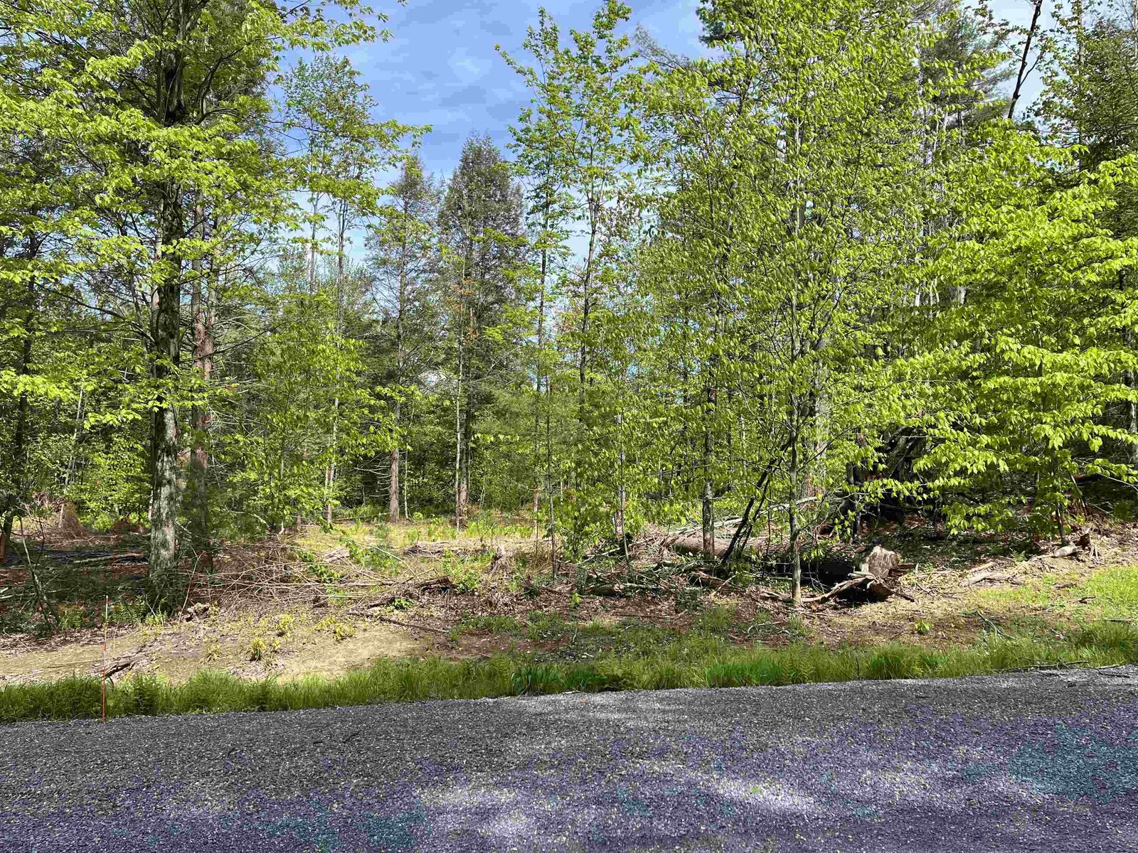
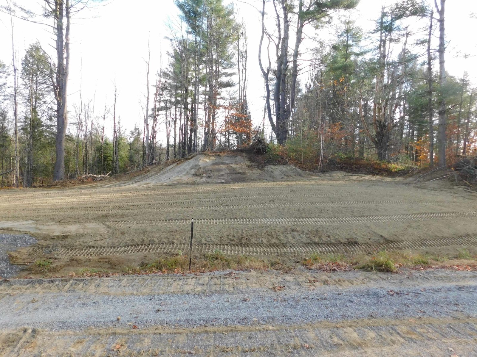
This is a woodlot at this point in time, it slopes toward the NE and Mt Mansfield area. It has a lot of tall hardwood trees and a unimproved 60' right of way deeded to the owners of the land from Knob Hill Rd to the land for ingress and egress along with utilities. There are houses in sight while walking the 1963 foot right of way to the land. The building permit process is easy for this old parcel of land. The sign on Knob Hill Rd is the beginning of the right of way. It is a straight line along the path that is there to where it turns left, North. From there the white ribbons will bring you along the ROW to the land which is flagged in red or pink on the boundaries. †
Property Location
Property Details
| Sold Price $90,000 | Sold Date Sep 5th, 2017 |
|---|---|
| MLS# 4493753 | Taxes $2,951 |
| List Price 112,500 | Exposure |
| Type Land | Surveyed Yes |
| Zoning ag rural res | Road Frontage Ft |
| Lot Size 53.0000 Acres | Water Frontage |
| Easements | Water Body |
| List Date May 18th, 2017 |
| MLS# 4493753 | Taxes $2,951 |
|---|---|
| List Price 112,500 | Exposure |
| Type Land | Surveyed Yes |
| Zoning ag rural res | Road Frontage Ft |
| Lot Size 53.0000 Acres | Water Frontage |
| Easements | Water Body |
| List Date May 18th, 2017 |
| Amenities , , , Wooded Lot |
|---|
| Topography Hilly, Wooded, Sloping |
| Location Yes, Dead End Street |
| Utilities |
| Directions Rte 2a from Tafts Corner under I89 to the top of the hill left on Old Creamery to Knob Hill Rd on left. Up Knob Hill Rd about 4/10s mile to a sign on the right. Use the map from that point on foot. The ROW from where it turns north is marked with white ribbons to the land. Boundaries are flagged red |
| Current Use Timber | Roads Private, Dead End |
|---|---|
| Sewer None | Roads Private, Dead End |
| Water None | Structure None |
| Electric At Street, None, On Adjacent Property | Shore Rights |
| Gas | Restrictions Easement/ROW |

† The remarks published on this webpage originate from Listed By of via the NNEREN IDX Program and do not represent the views and opinions of Coldwell Banker Hickok & Boardman. Coldwell Banker Hickok & Boardman Realty cannot be held responsible for possible violations of copyright resulting from the posting of any data from the NNEREN IDX Program.

 Back to Search Results