Sold Status
$25,000 Sold Price
Land Type
27 Acres
Sold By Marble Realty, Inc.
Similar Properties for Sale
Request a Showing or More Info

Call: 802-863-1500
Mortgage Provider
Mortgage Calculator
$
$ Taxes
$ Principal & Interest
$
This calculation is based on a rough estimate. Every person's situation is different. Be sure to consult with a mortgage advisor on your specific needs.
Lamoille County
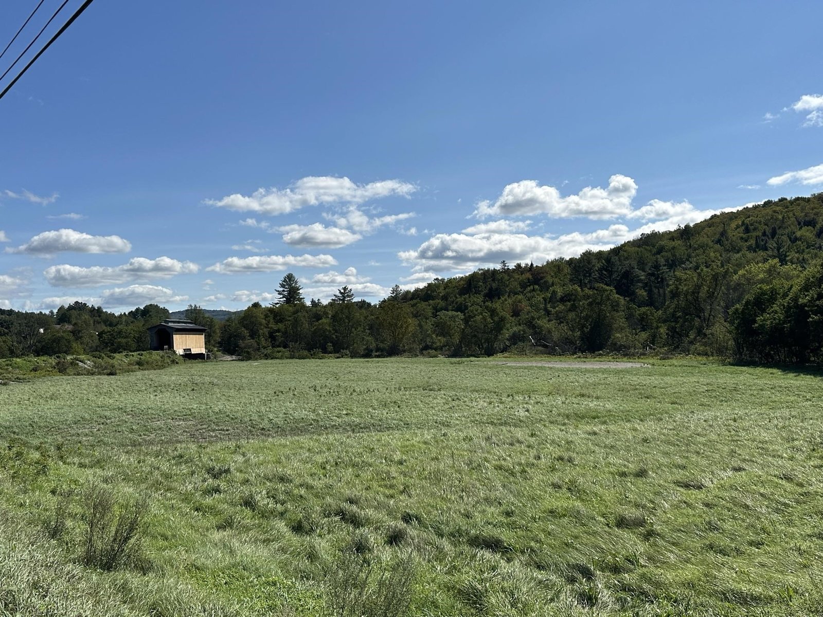
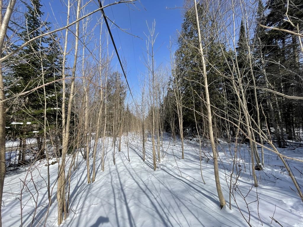
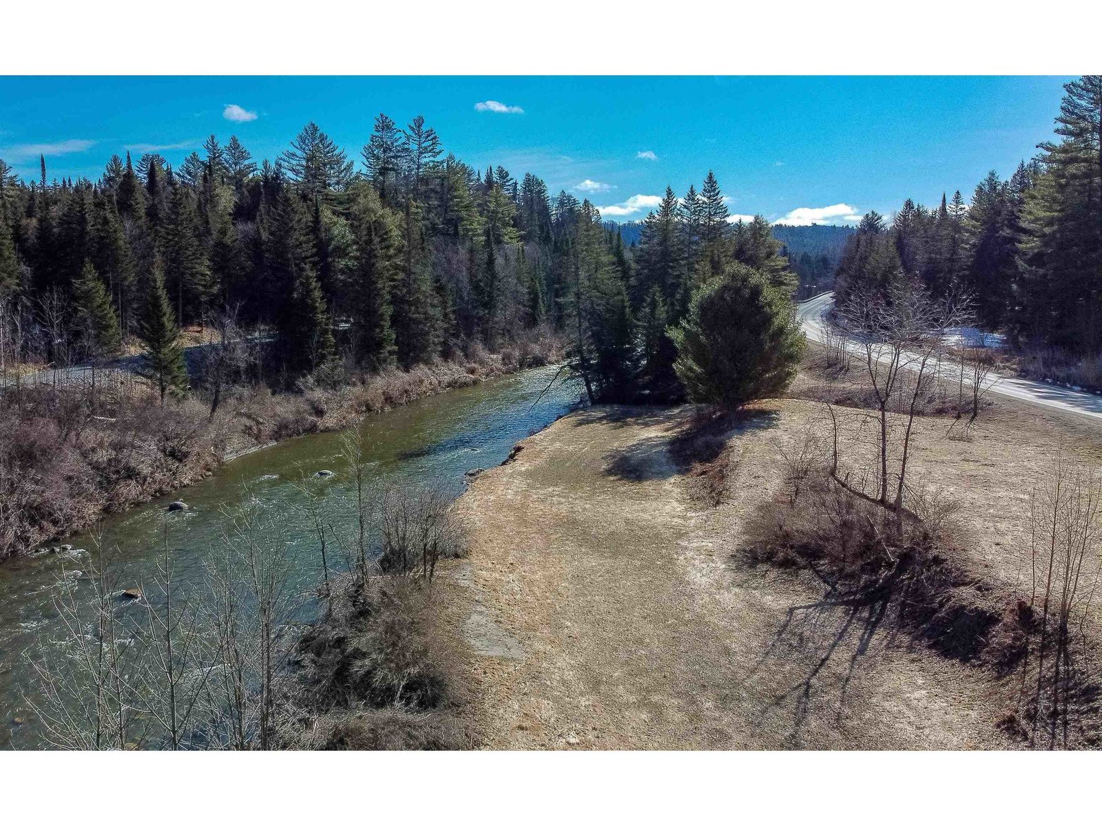
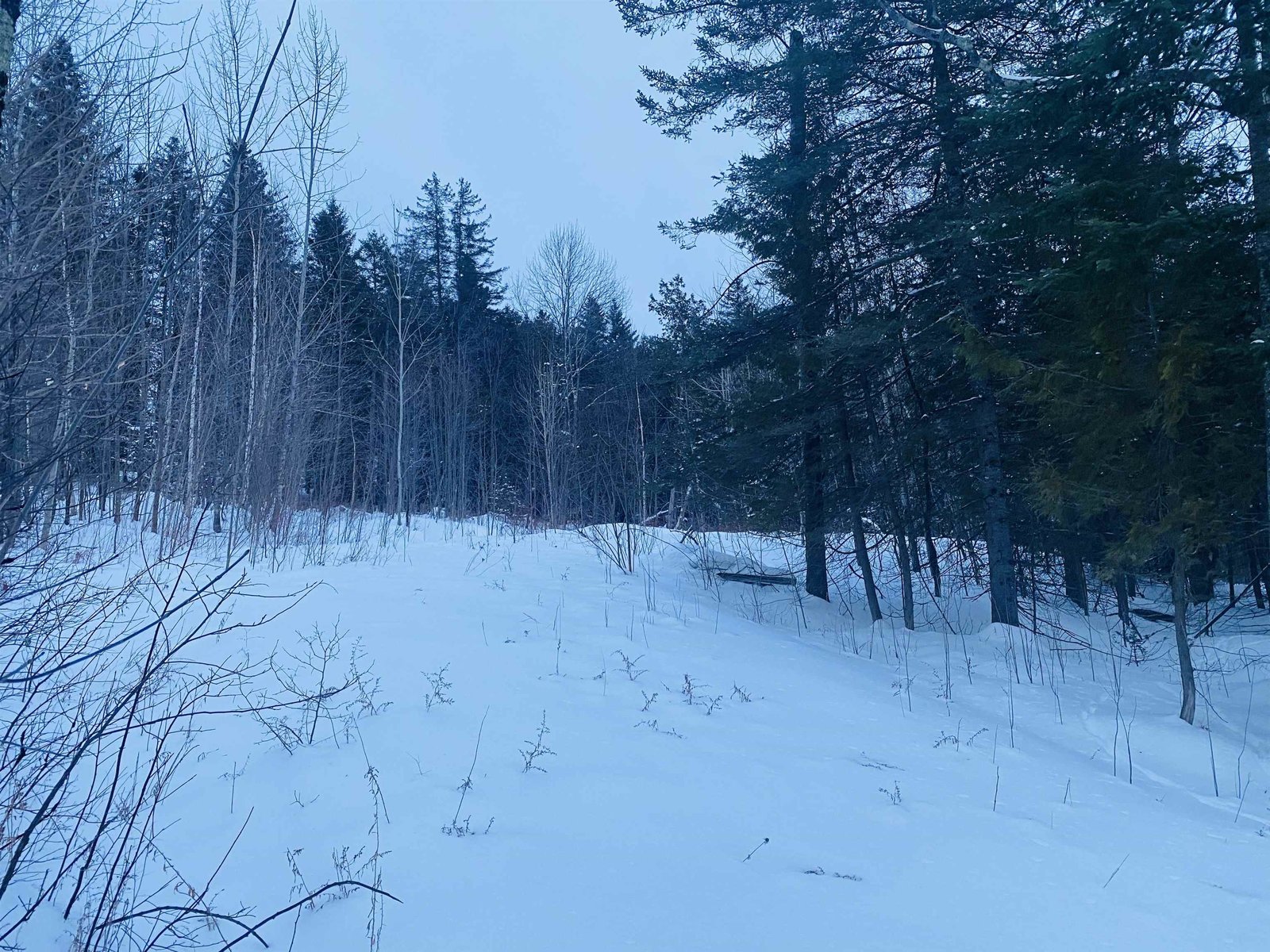
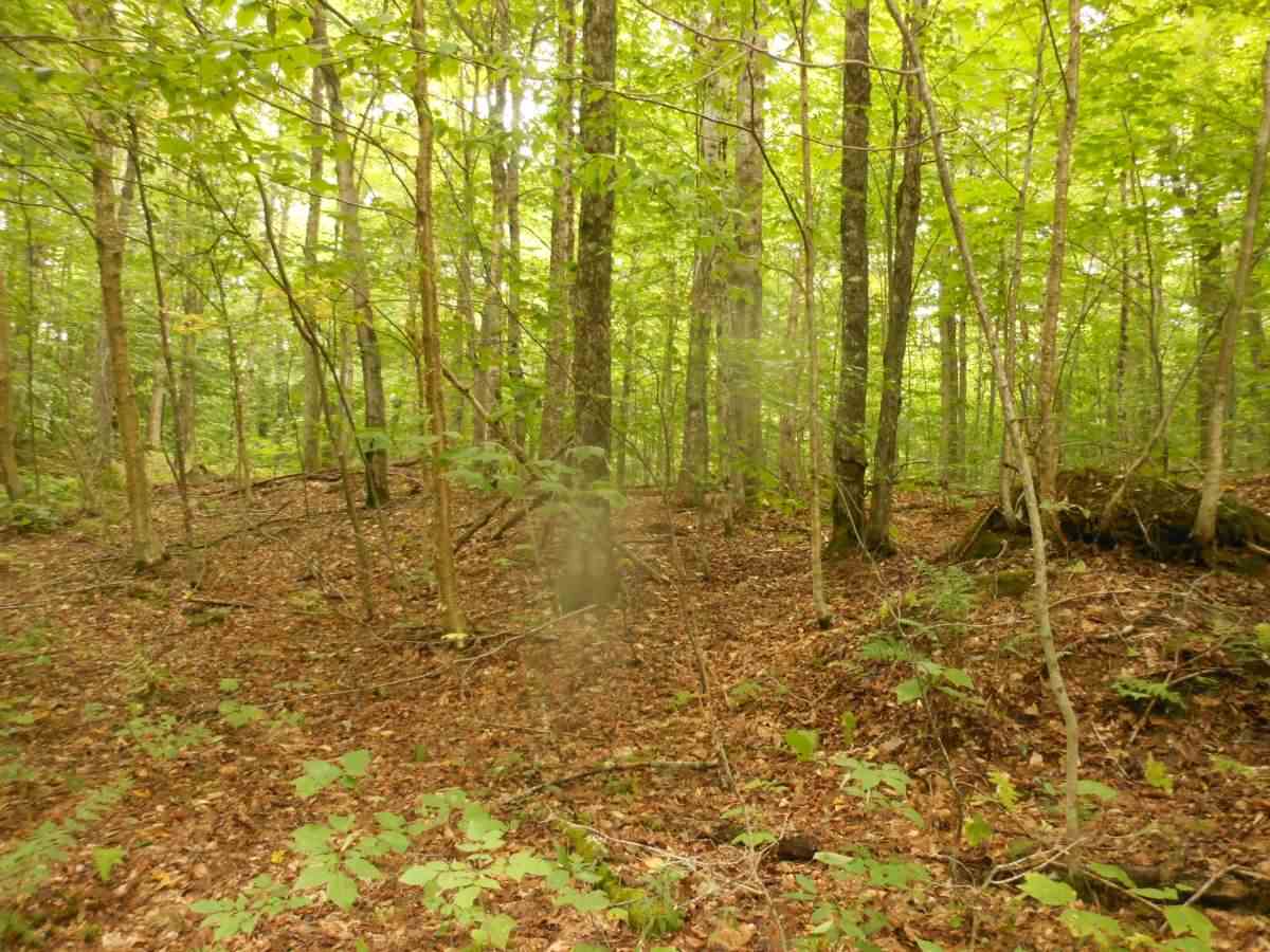
Now offered over $6,000 under the town Assessed value! Here is a great wildlife watching area with growing timber hard woods including Maples along the ridge, mixed softwoods plus the beaver pond area. Land is about 1.4 miles from the town road portion of Jones Lane along a seasonal trail. VAST and Catamount Trail provide winter access with your 4X4 bringing you in from May thru November. The survey map shows the surveyed right of way to this land. †
Property Location
Property Details
| Sold Price $25,000 | Sold Date Feb 23rd, 2021 |
|---|---|
| MLS# 4780869 | Taxes $987 |
| List Price 32,000 | Exposure |
| Type Land | Surveyed Yes |
| Zoning Rural Residential | Road Frontage Ft |
| Lot Size 26.6000 Acres | Water Frontage |
| Easements | Water Body |
| List Date Oct 8th, 2019 |
| MLS# 4780869 | Taxes $987 |
|---|---|
| List Price 32,000 | Exposure |
| Type Land | Surveyed Yes |
| Zoning Rural Residential | Road Frontage Ft |
| Lot Size 26.6000 Acres | Water Frontage |
| Easements | Water Body |
| List Date Oct 8th, 2019 |
| Amenities |
|---|
| Topography Rural Setting, Secluded, Wooded, Wetlands, Pond, Trail/Near Trail, Sloping, Lowland, Walking Trails, Country Setting |
| Location Yes, Rural |
| Utilities |
| Directions from Route 15, turn on N. Wolcott Road, then West Hill Road & then left onto Jones Lane. go 0.6 mile-end of the town maintained road, at 0.8 mile go by last power pole, continue past swamp on RT, left at 'no hunting' sign, right at 'Y' and follow Catamount Trail signs which cross NW corner of land. |
| Current Use Timber, Recreational, Timber | Roads Shared, Seasonal, Dirt |
|---|---|
| Sewer None | Roads Shared, Seasonal, Dirt |
| Water None | Structure |
| Electric None | Shore Rights |
| Gas | Restrictions Wetland |

† The remarks published on this webpage originate from Listed By Roy Marble of Marble Realty, Inc. - Off: 802-888-3418 via the NNEREN IDX Program and do not represent the views and opinions of Coldwell Banker Hickok & Boardman. Coldwell Banker Hickok & Boardman Realty cannot be held responsible for possible violations of copyright resulting from the posting of any data from the NNEREN IDX Program.

 Back to Search Results